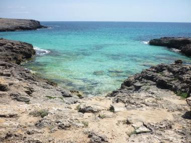
The trail that we are taking today will travel a scenic route of Menorca that you wont believe; with picture postcard beaches, small white sandy coves and spectacular views over the Mediterranean. A flat and gentle course on the sea coast but of medium difficulty as there is 13.3 kilometers.
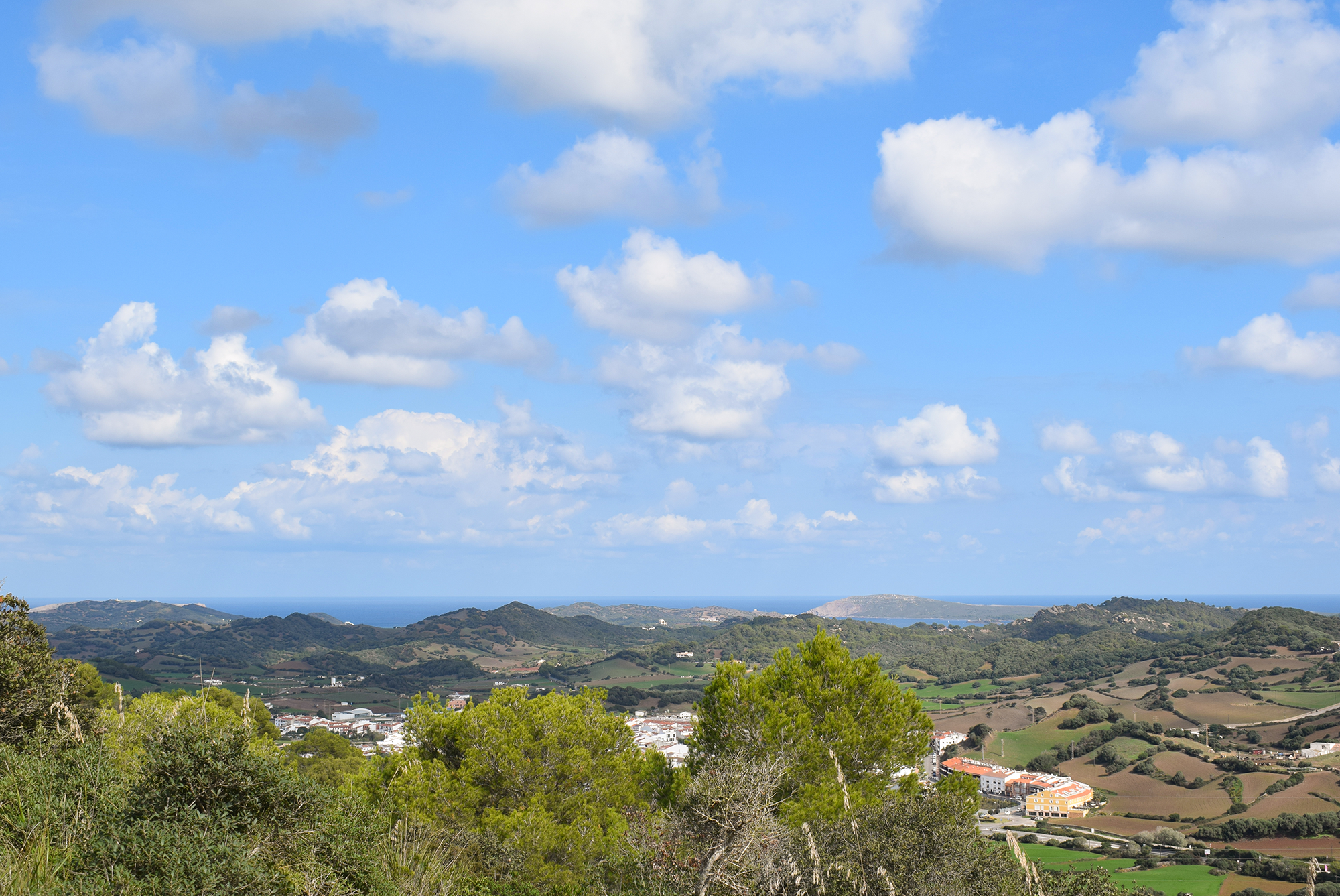
We will be leaving from next to the Cova des Moro, north of the Lighthouse of Artrutx. It starts with a tarmac road, between the urbanizations of Cala’n Bosc and Son Xoriguer, two quiet areas and an ideal place to think about having a summer residence or even to live all year. Leaving them behind we enter a rocky landscape that borders the coast as we descend towards the coves. Looking inland, we can see the menorquin mosaic of fields, the vegetation of the marina of heather, rosemary and some pines. By the way, for those of you who like cooking, it will be a good occasion to collect a little sea fennel (limonium) that, for example, serves to preserve olives.

After walking nine kilometres, we come upon the beach of Son Saura, a beautiful white sandy beach surrounded by pine trees and ideal for mooring as the water is crystal clear. It is also one of the locals favorite beaches, who love any excuse to visit. If you can, look at the wetland of the Bellavista meadows, which is a refuge for waterfowl.
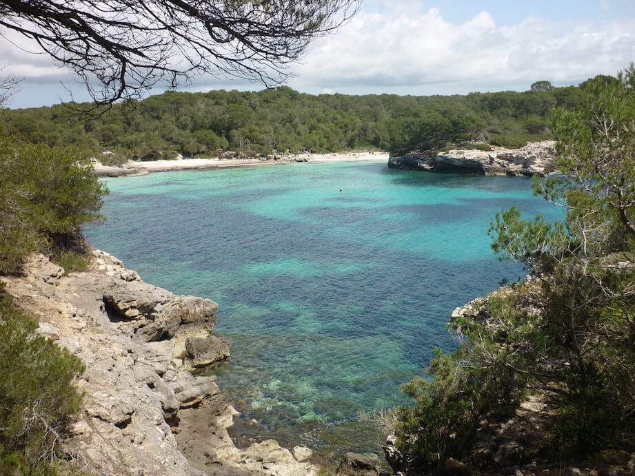
From here, the Cami de Cavalls goes through a more wooded area, with not only leafy white pines but also olive trees and some oaks. Halfway between Son Saura and the end of the trail, we find Sa Talaia d’Artrutx, which is a circular watch tower dating from the seventeenth century. This watch tower is 62 metres above sea level and served to warn the village of any invaders. These last kilometres is where we find some uneveness, but it is certainly worth it when we arrive at Cala Turqueta.
Distance 13.3 km
Estimated time with stops at interesting points: 5 hours
Difficulty: Medium


